Get Out and Enjoy the Great Outdoors – You’ll Be Glad You Did
Have you explored all these trails right in our own backyard?
Town of Needham
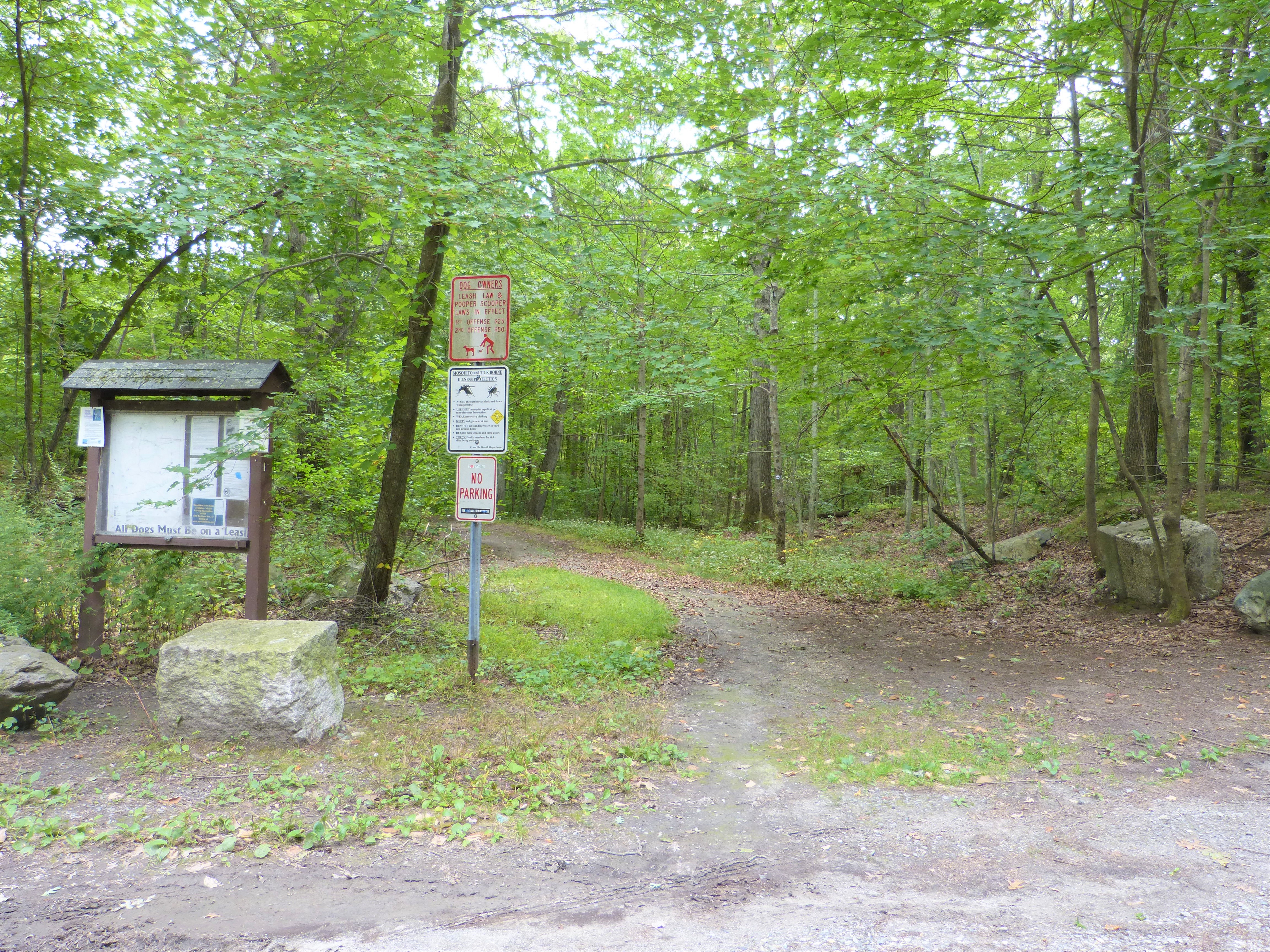
Interested in helping keep the Town trails in good shape? Find out about volunteer opportunities, including the trails steward program.
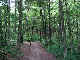
 Ridge Hill Reservation
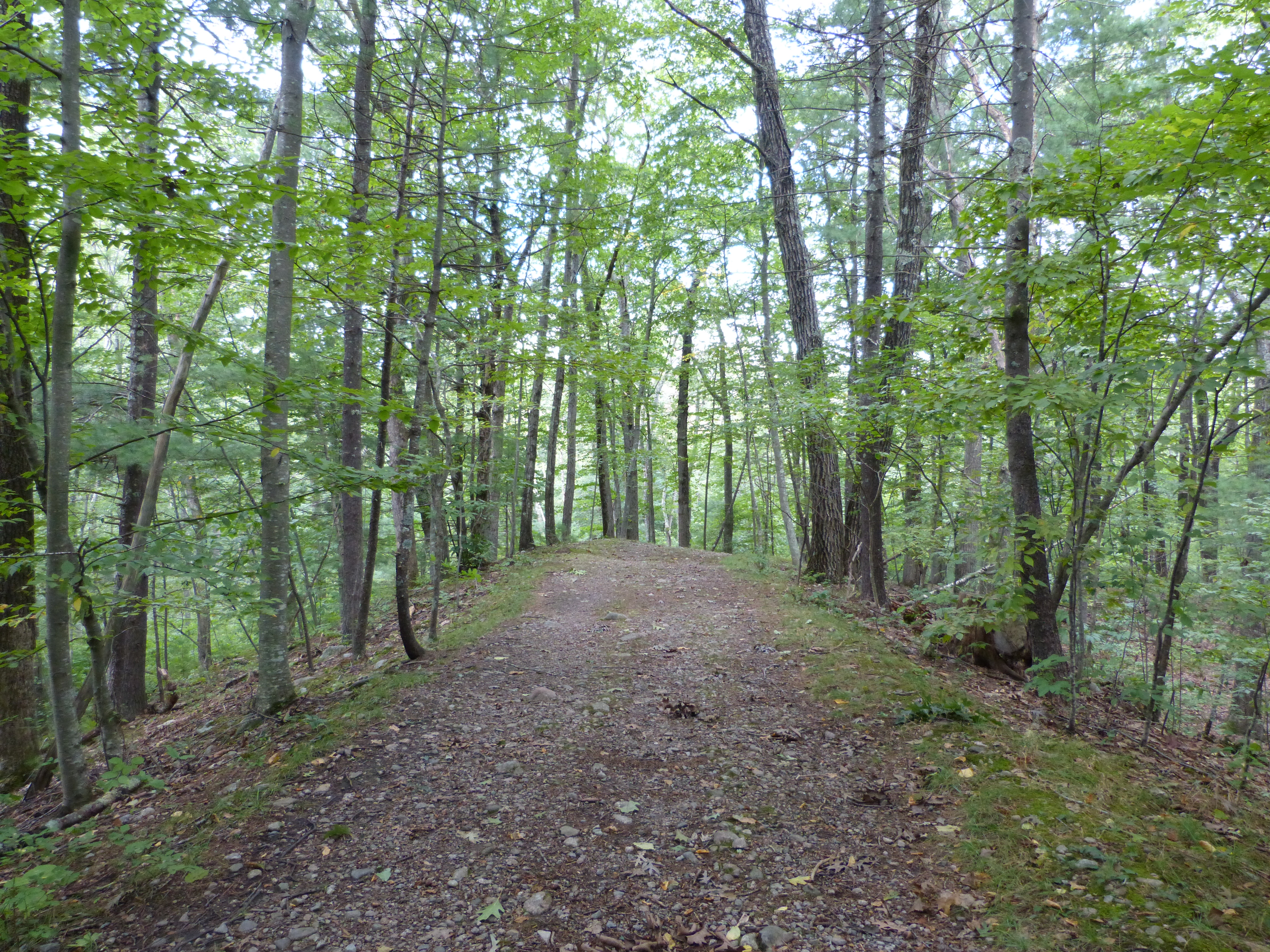
This is the largest nature preserve in Needham, with open fields, red maple swamps, and mixed forests located on over 400 acres. The main entrance for the Ridge Hill is located on Charles River Street, in the northwest portion of Needham. The 9.4 miles of trails are rated light/rolling — moderate. A favorite trail is the Esker Trail, which begins near the 2nd parking area off the main park road, where a map is posted in a kiosk. An esker is a winding ridge of gravel & boulders deposited from a melting glacier. At marker #9 there is a wooden boardwalk built recently to protect the wetland; if you walk to its end, turn left to come up near the buildings and main driveway of Ridge Hill. Read more … Trail Map
 Town Forest
There are many paths to explore in this 200 acres of rolling woodlands and forested wetlands. Horsford Road is the main trail running the length of the property. A highlight is the scenic view offered from the “High Rock,” a high (about 250 feet) prominence hidden in the trees and accessed in the southeastern part of the Town Forest off High Rock Street. The main entrance and parking area for the Town Forest is located on Central Avenue, across from the RTS. You can also park along High Rock Street to enter. Trail Map
 Reservoir Trail
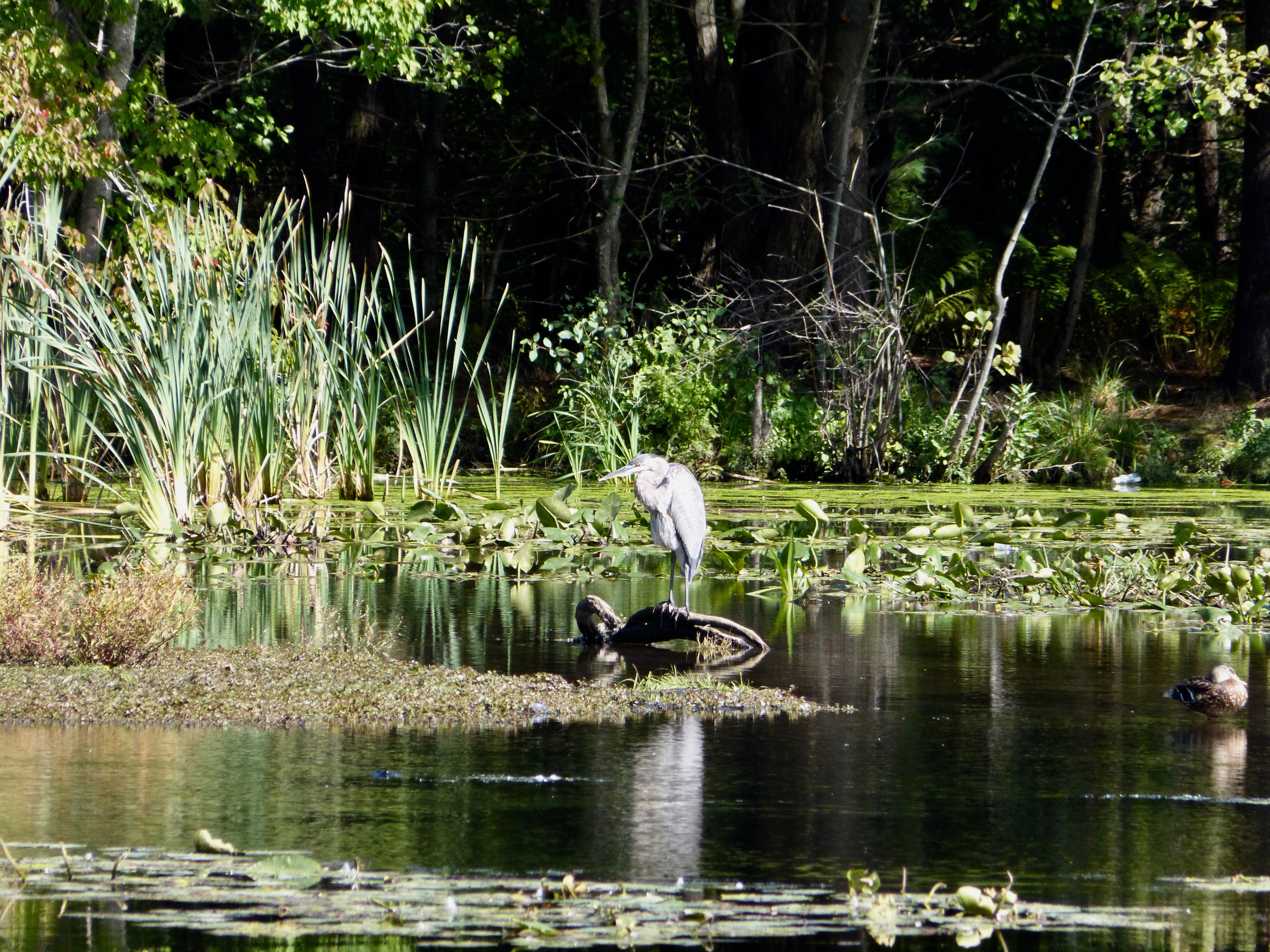
The Reservoir Trail, newly restored and improved in 2017-2018, is a gem. Entered from the parking area of the Public Services Administration Building at 500 Dedham Avenue, this lovely trail is fully accessible to all persons. The mostly shaded path and boardwalk around the Reservoir is ½ mile long and takes you through a red maple swamp and woods. There are benches about every 1/10 mile. There are also two lookout/fishing piers where you might see turtles, ducks, or a great blue heron. Read more … Trail Map
 Newman School Trail (Eastman Conservation Area)
Perfect for families with young children or for anyone with a half hour to spend in nature. (Please use it only when school is not in session, however.) The trails loop around a small pond and over several boardwalks and bridges. A spur trail on the western side of the pond follows the crown of an upland peninsula surrounded by red maple swamps. Step-downs are in place to bring visitors closer to nature. The 1/3 mile Eastman Conservation trail, with hard packed surface and boardwalks, is accessible to all.
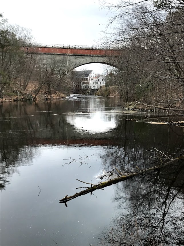
 Sudbury Aqueduct Trail
Built in the 1870’s, the Aqueduct can carry water from Farm Pond in Framingham to the Chestnut Hill Reservoir in times of emergency. In Needham there are several segments of wide, level, tree-lined trails along the Aqueduct. A new mile-long section, which passes through the Eliot School, begins at Echo Bridge, which incorporates a pedestrian walkway with views of the old mill complex in Newton Upper Falls. Continue through Wellesley to reach the western section on the campuses of Olin College and Babson College. A map of the path can be found on the Trailforks website.
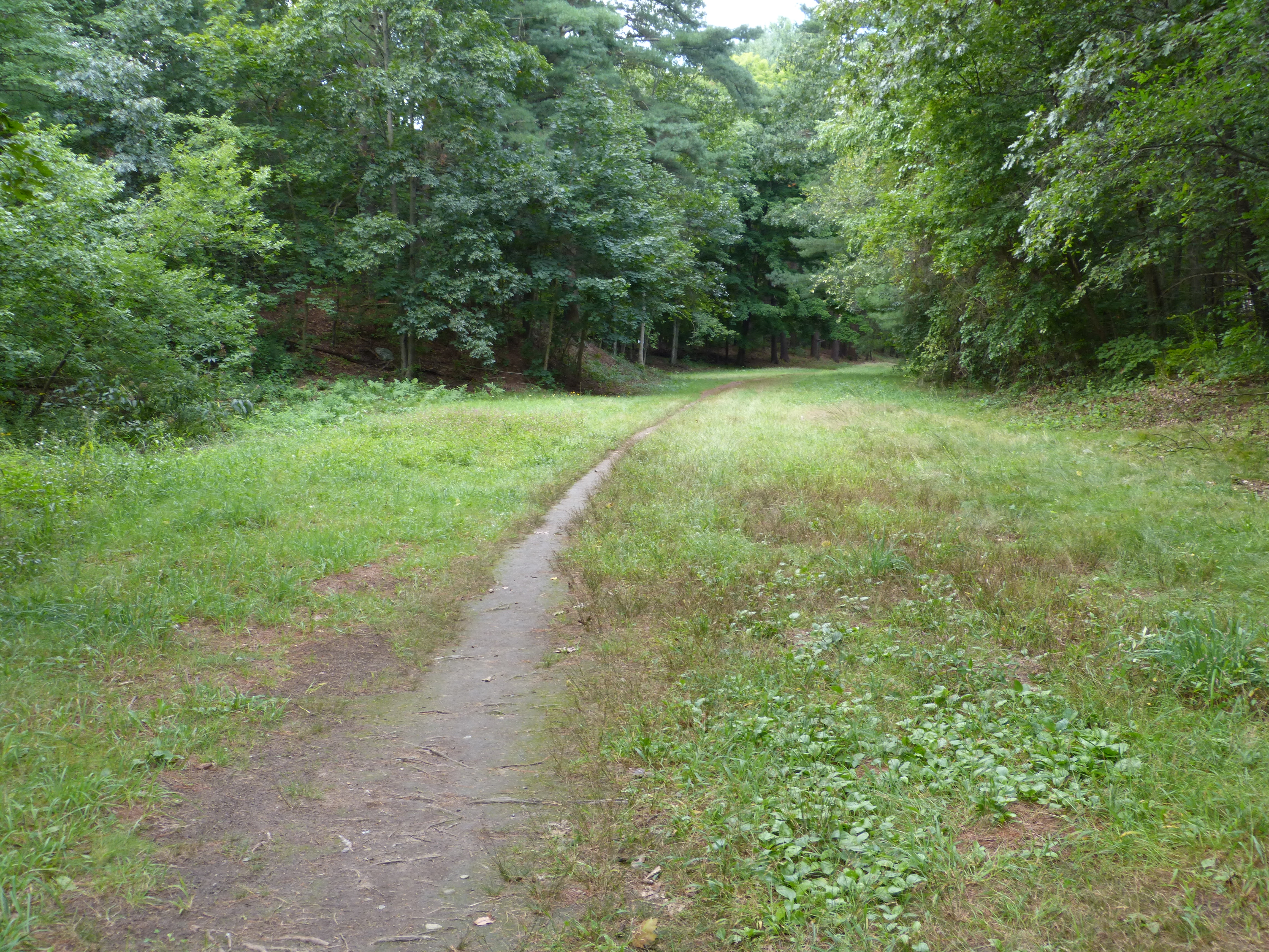
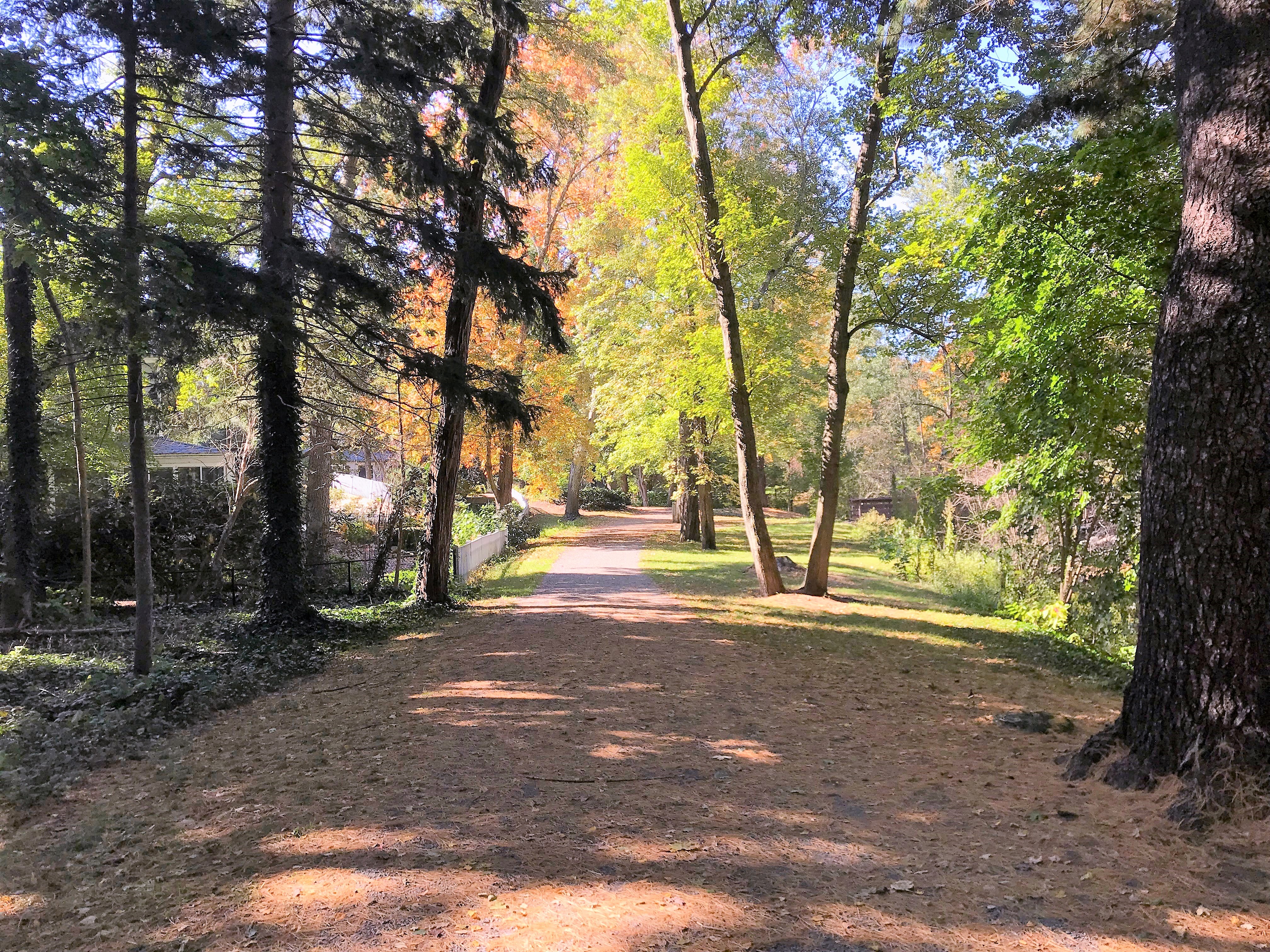
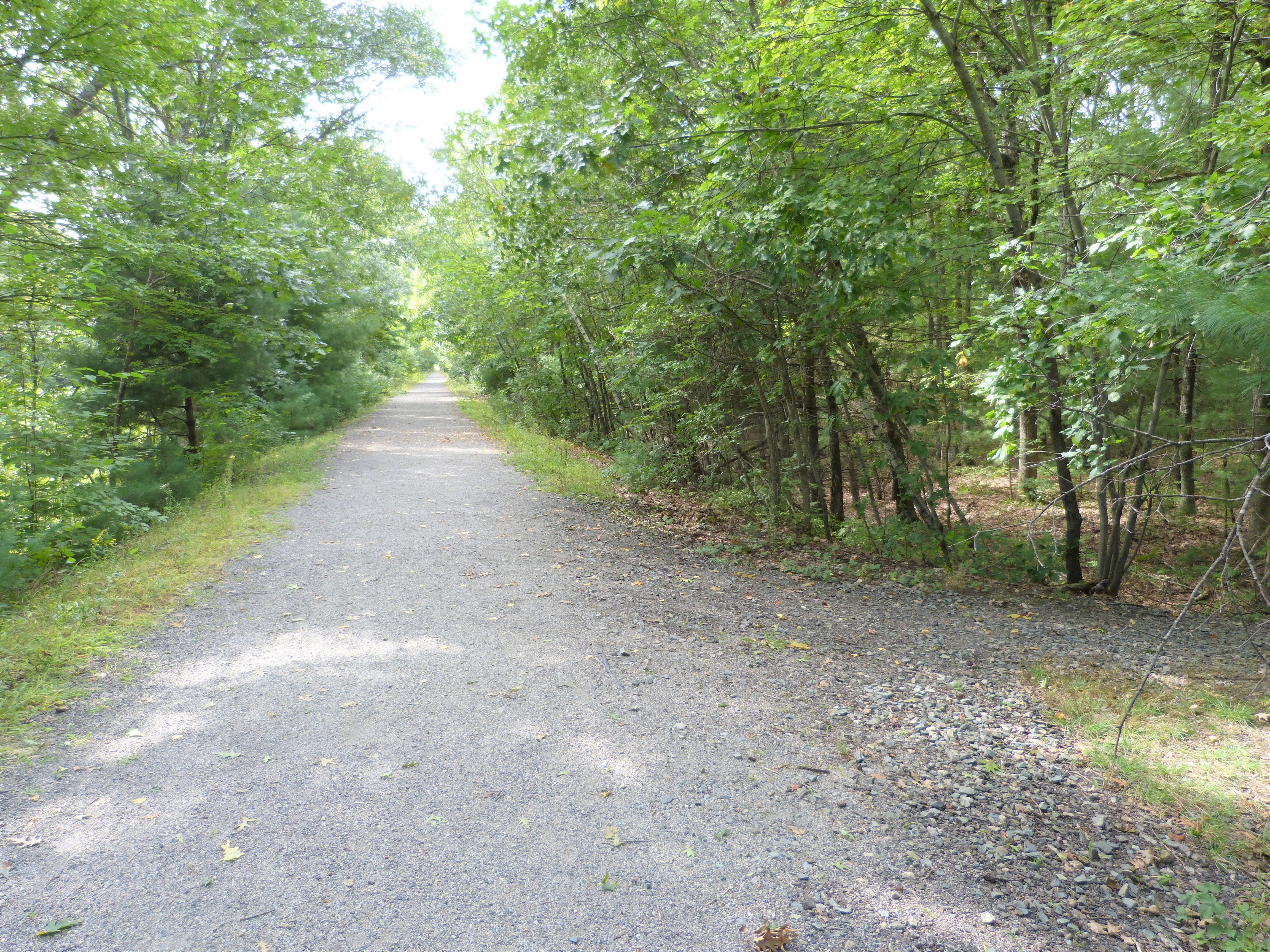 Bay Colony Rail Trail
Here’s a pleasant way to spend time outdoors. Thanks to a grassroots effort, an abandoned railway that once ran to Medfield has been transformed into a smooth, crushed stone 1.7 mile walking and cycling path. The wooded trail passes by the Needham Town Forest and ends with looped paths through the meadow at the Charles River Peninsula, a Trustees of Reservations property. Parking (and a boat launch) is available at Red Wing Bay on the south side of Fisher Street, and there is also access from High Rock Street. The Bay Colony Rail Trail website has information about the project, which includes sections in Newton, Medfield and Dover. Trail Map
 Rosemary Lake Trails
In the heart of Needham, these linear trails are about 1 mile in length and run through the 37 acres of mixed woodlands and forested wetlands that make up the Rosemary Lake area. Trails provide access to varied terrain, with some views of Rosemary Lake and the adjacent wetlands and streams. Difficulty is rated at light/rolling — moderate/steep. An entrance to this trail, marked by large boulders, is part way down the new road off Rosemary Street that leads to the Rosemary Recreation Complex on Rosemary Lake. Pedestrian access is available on May St. and Nehoiden St. Trail map.
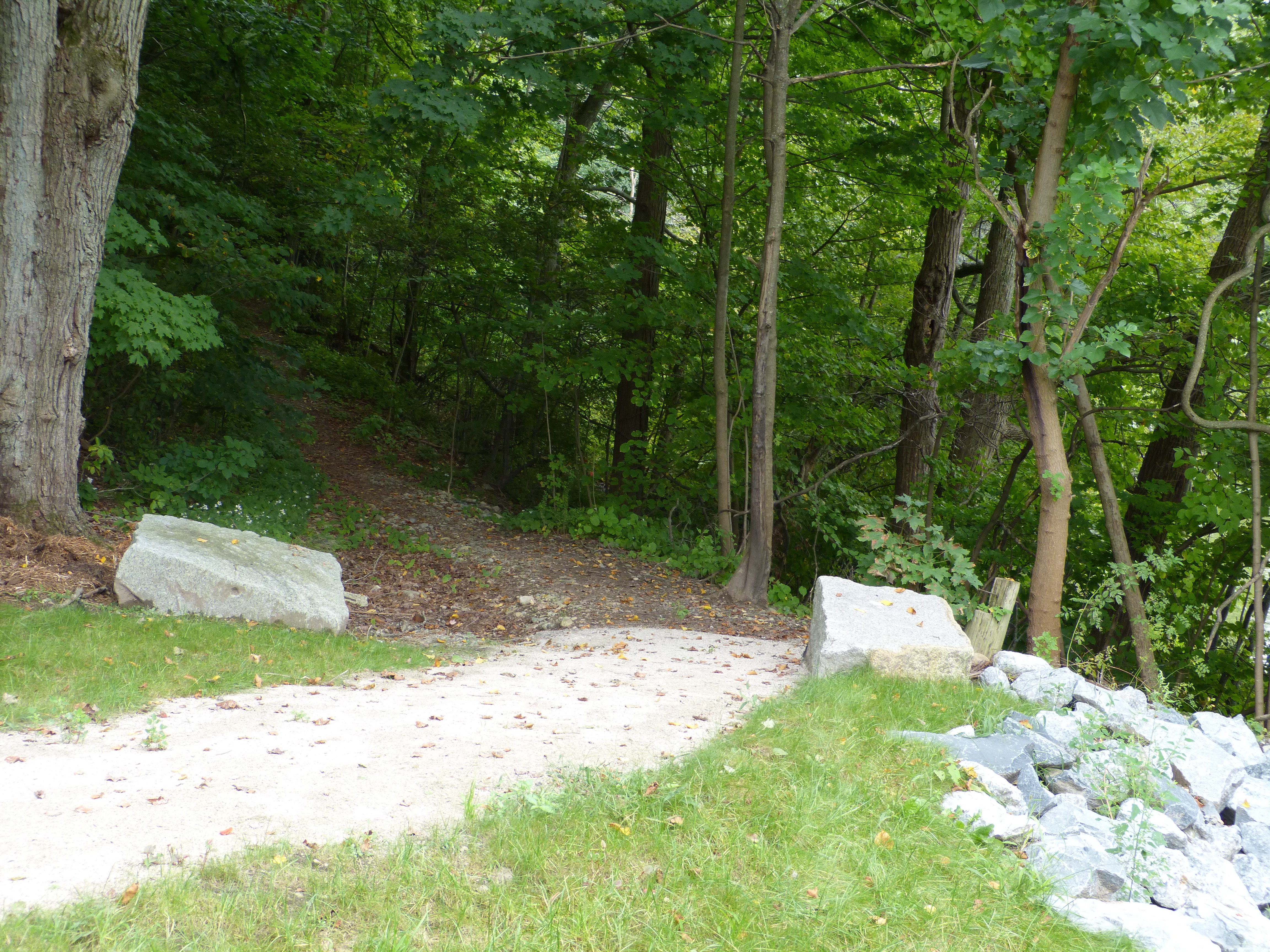
Mitchell Woods Trails A 1/4 mile loop with narrow but well-used paths offers a chance for a fun exploration of this mini-woodland. The trails are available after school hours and are located on Brookline Street west of Mitchell Elementary School. The woods are adjacent to the school fields and playground, and can also be accessed from trail heads on Brookline Street and James Avenue. Parking for three vehicles is available at the end of the James Avenue cul-de-sac. Additional parking is located at Mitchell School. Trail Map
Greendale Avenue Trails 1.5 miles of linear trails run parallel to Greendale Ave. and Rte. 128 (Interstate 95) in the narrow 40-acre buffer between the highway and Greendale Ave. There is now an easement behind the Modera Housing complex that keeps the trail connection. Trail map.
State Owned Trails
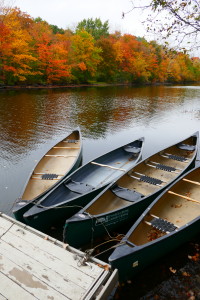
Cutler Park
 The largest freshwater marsh on the middle Charles River is protected by this 700-acre state-owned nature park just east of Route 128 (Interstate 95) in Needham and Dedham. The marshland and the small lake attract over 100 species of birds. Cutler Park offers a variety of experiences, from a leisurely 1.5-mile loop around beautiful Kendrick Pond (a favorite walk with children and dogs) to exploration of longer paths. Paths can be muddy after wet weather. (For the pond loop, parking is available off of Kendrick Street, and just beyond the Newton border where Kendrick St. becomes Nahanton St. is a canoe rental.) An access point to the marshy end of the park is on Needham Street in Dedham, just east of Rte. 128. Read more… Trail map
Hemlock Gorge
The lovely Hemlock Gorge, with a path of slightly less than a mile, gives access to Echo Bridge.
Check out Trails in Nearby Towns
Dedham‘s Wilson Mountain Trail is a favorite, with panoramic views Boston. Get information about this trail at the MA Dept. of Conservation and Recreation website.
Wellesley has 43 miles of trails. Their trails website has a wealth of information and trails maps.
Newton has many walking trails, including Nahanton Park, on the Charles River across Nahanton Street from Cutler Park.
The Town of Dover has some lovely trails, including the popular Noanet Woods, a Trustees of Reservations property.
Open Space for Walking in Dover
A Short List of Organizations Which Protect Our Natural Areas
- Charles River Watershed (CRWA)
- Friends of the Blue Hills Spanning more than 7,000 acres with 22 hilltops, the Blue Hills is a natural treasure in our own backyard. Tens of thousands of people visit the Blue Hills annually, to hike, bike, fish, run & ski.
- Friends of Hemlock Gorge (Echo Bridge) is a community organization dedicated to preserving and improving Hemlock Gorge.
- Mass Audubon protects 41,000 acres of land throughout Massachusetts, saving birds and other wildlife, and making nature accessible to all. They welcome more than a half million visitors a year to our wildlife sanctuaries and 20 nature centers.
- Massachusetts Horticultural Society has a mission to promote the art and science of horticulture, while staying true to its founding motto, ‘Commune Bonum,’ for the public good. Visit the gardens and walking trails at Elm Bank
- Native Plant Trust
conserves native plants in the wild and encourages gardeners and landscape professionals to choose natives when they plant outdoor spaces, particularly plants grown from local seeds, harvested sustainably in the wild.
- Trustees of Reservations cares for and protects more than 100 special places – nearly 47,000 acres – all around Massachusetts, including nature areas and historic houses, such as Old Manse in Concord.
Updated July, 2023
Resources
Documents
- Bay Colony Rail Trail map
- Bay Colony Rail Trail Rules and Guidelines
- Greendale Ave Trail Map & Guide
- Mitchell School Trail Map & Guide
- Rosemary Lake Trail Map & Guide
- Town Forest Trail Map & Guide
